Industrial
Intelligence
Specialized in high-accuracy industrial inspections, complex 3D mapping, and digital twins for mission-critical infrastructure across Europe.
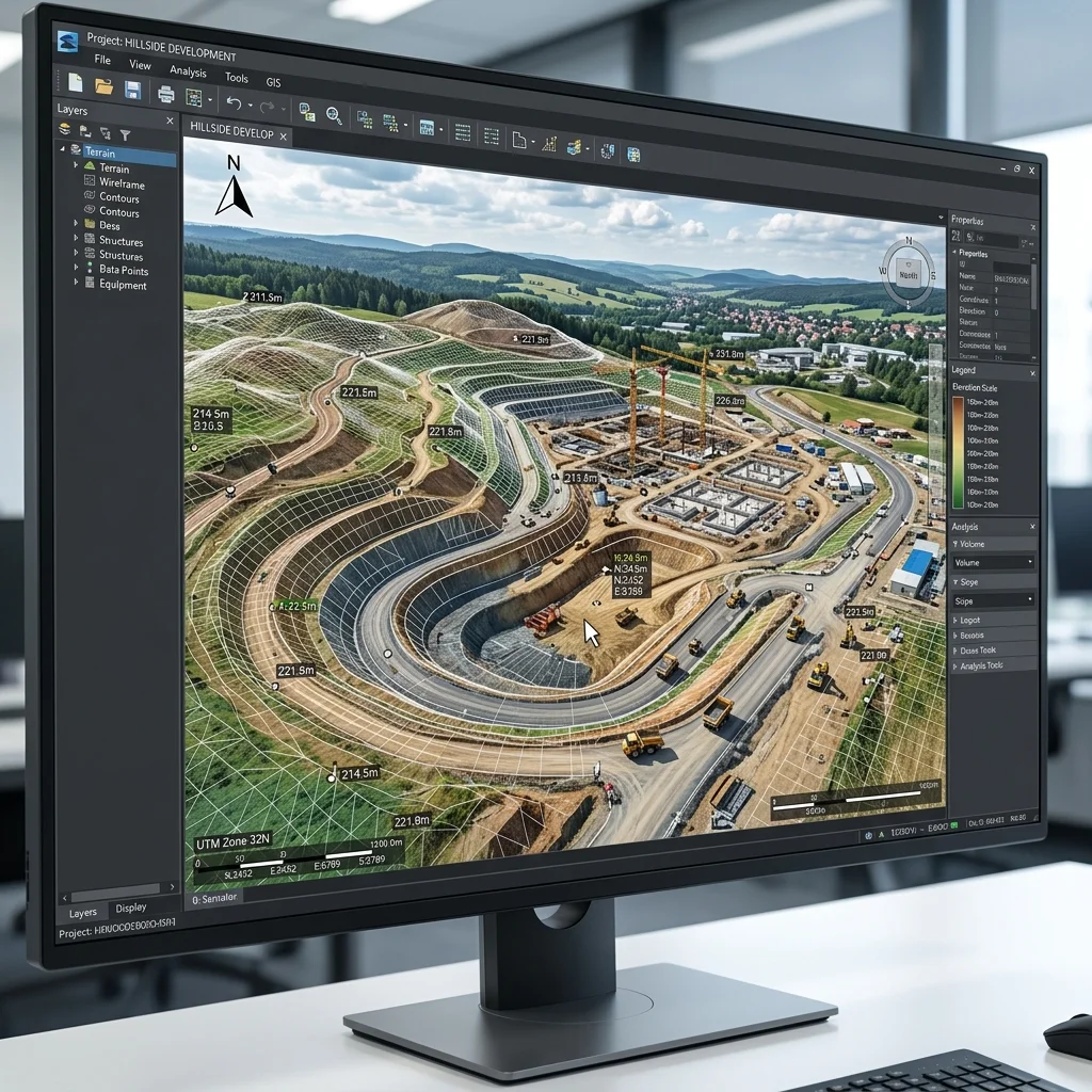
3D Modeling & Digital Twins
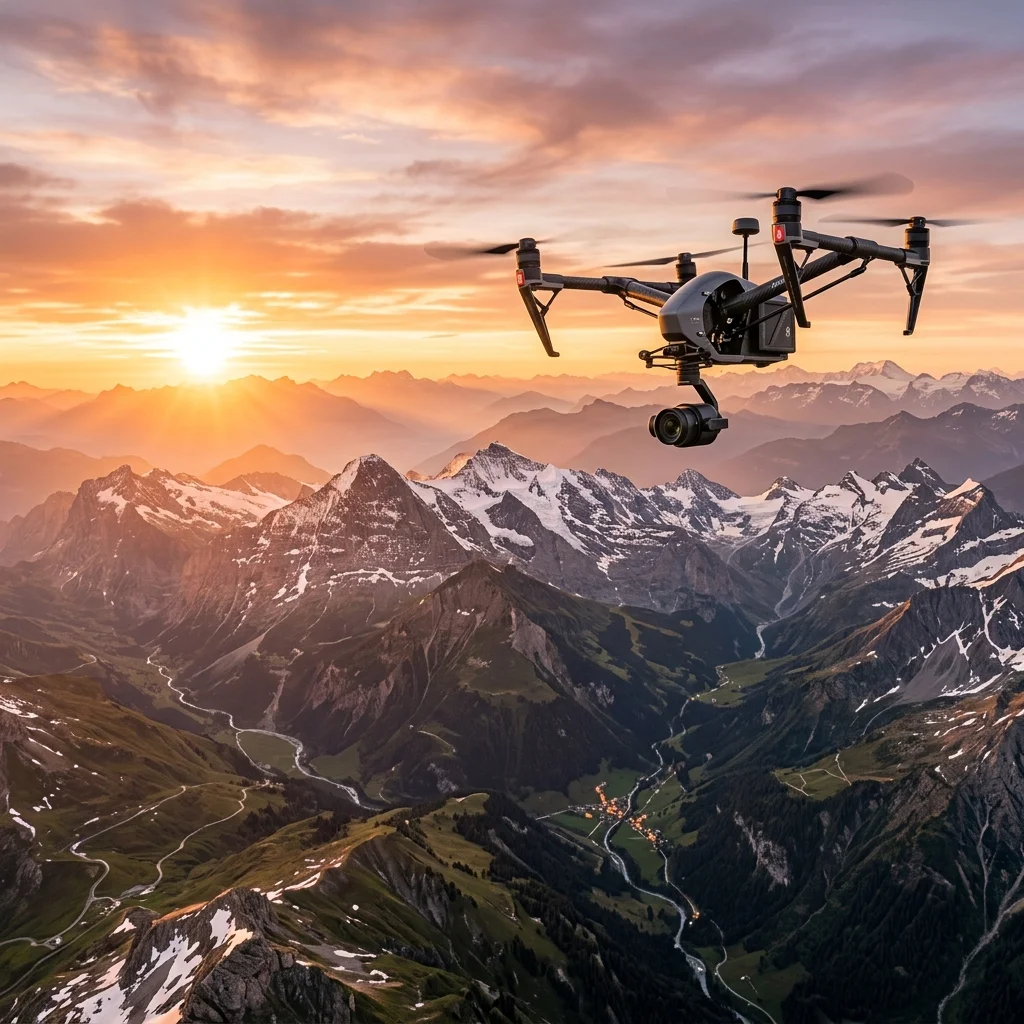
High-precision mapping and topographical data. Our Matrice 4 Enterprise fleet, equipped with mechanical shutters and RTK integration, delivers centimeter-level accuracy for large-scale industrial photogrammetry.
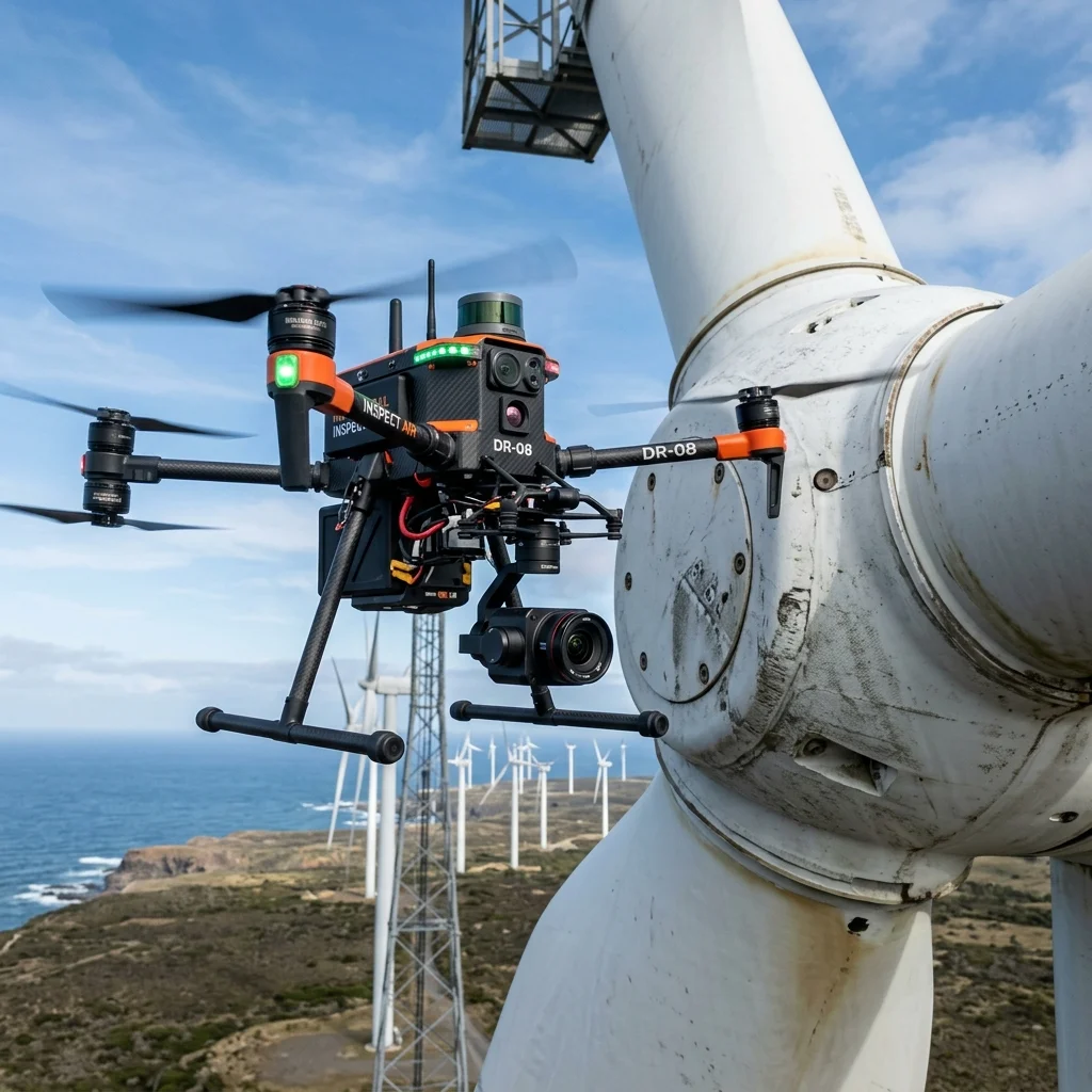
Critical Inspections
Mission-critical audits of wind turbines and high-voltage electrical stations. We use stabilized Matrice 400 systems with IP55 weather protection to ensure 100% data accuracy.
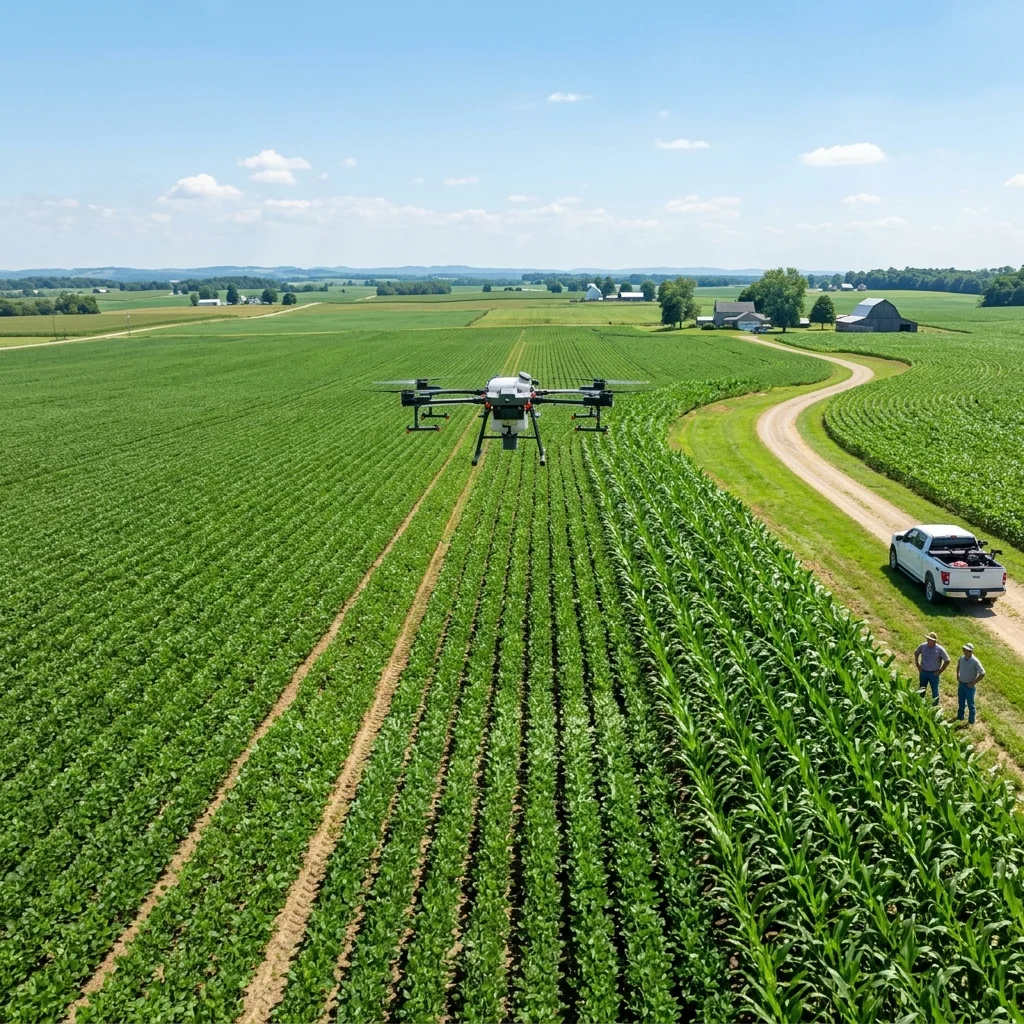
Smart Agriculture
Innovative agricultural solutions for data-driven farming decisions. We provide multispectral analysis to optimize yields and reduce resource waste.

Aerial Photography
High-resolution technical and artistic aerial shots. From luxury real estate marketing to industrial site progress, we deliver visuals that tell a story.
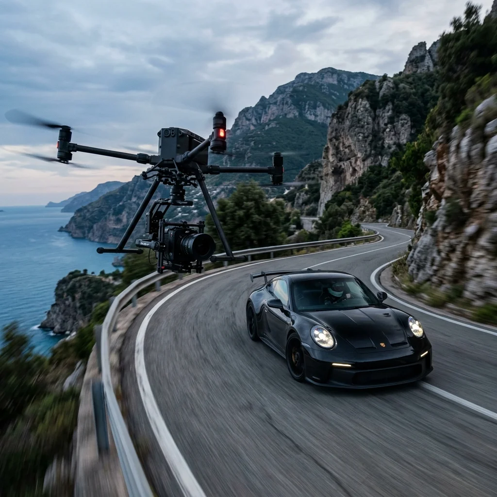
Cinematic Video
8K raw cinematography and high-speed FPV storytelling. We push the boundaries of drone flight to create immersive, high-impact motion content.
Specialized Mission Sets
High-Voltage Inspections
Precision monitoring of power lines and energy grids. We identify structural fatigue or thermal anomalies using high-magnification sensors.
LiDAR Data Collection
High-density point cloud acquisition for engineering. Our sensors penetrate vegetation to deliver accurate ground-level data in any environment.
Solar Park Audits
Thermal scanning of photovoltaic installations. We identify defective panels and inefficiencies with sub-centimeter thermal resolution.
Rapid Incident Response
24/7 priority deployment for emergency audits. Equipped with advanced thermal payloads for real-time situational awareness.
Industries We Transform
Solutions tailored for industry leaders across various sectors.
Industrial & Energy
Specialized audits for wind farms, power plants, and critical energy grids.
Real Estate & Luxury
Cinematic tours and high-end property photography.
Agriculture & Environmental
LiDAR data and vegetation analysis.
Media & Events
Dynamic FPV flight and broadcast-quality videography.
Why Partners
Choose Us
EASA SORA Certification
Holding specialized EASA SORA certification for the Netherlands.
Technical Precision
Utilizing enterprise-grade Matrice 400, Matrice 4 Enterprise, and Avata 2 FPV systems paired with high-end LiDAR sensors.
Global Reach
Local expertise across Netherlands, Germany, and France.
Pre-Flight
Safety Protocol
Our rigorous 5-step pre-mission workflow ensures maximum safety and data accuracy for even the most complex industrial environments.
Legal Auth
Full EASA certification and local permit management for restricted flight zones.
Airspace
Real-time coordination with Air Traffic Control and CTR zone management.
Calibration
Rigorous hardware checks and sub-centimeter RTK sensor calibration.
Assessment
Meteorological analysis and site-specific risk mitigation for every mission.
Data Security
Standard NDA procedure for all missions. We do not store client data after delivery unless explicitly agreed for marketing purposes.
Ready to Start Your
Next Project?
Let's discuss how our drone solutions can support your goals and deliver the data or visuals you need.
Get a Free Quote