The Case
Studies
Explore our track record of high-precision data collection and cinematic storytelling across the European continent.
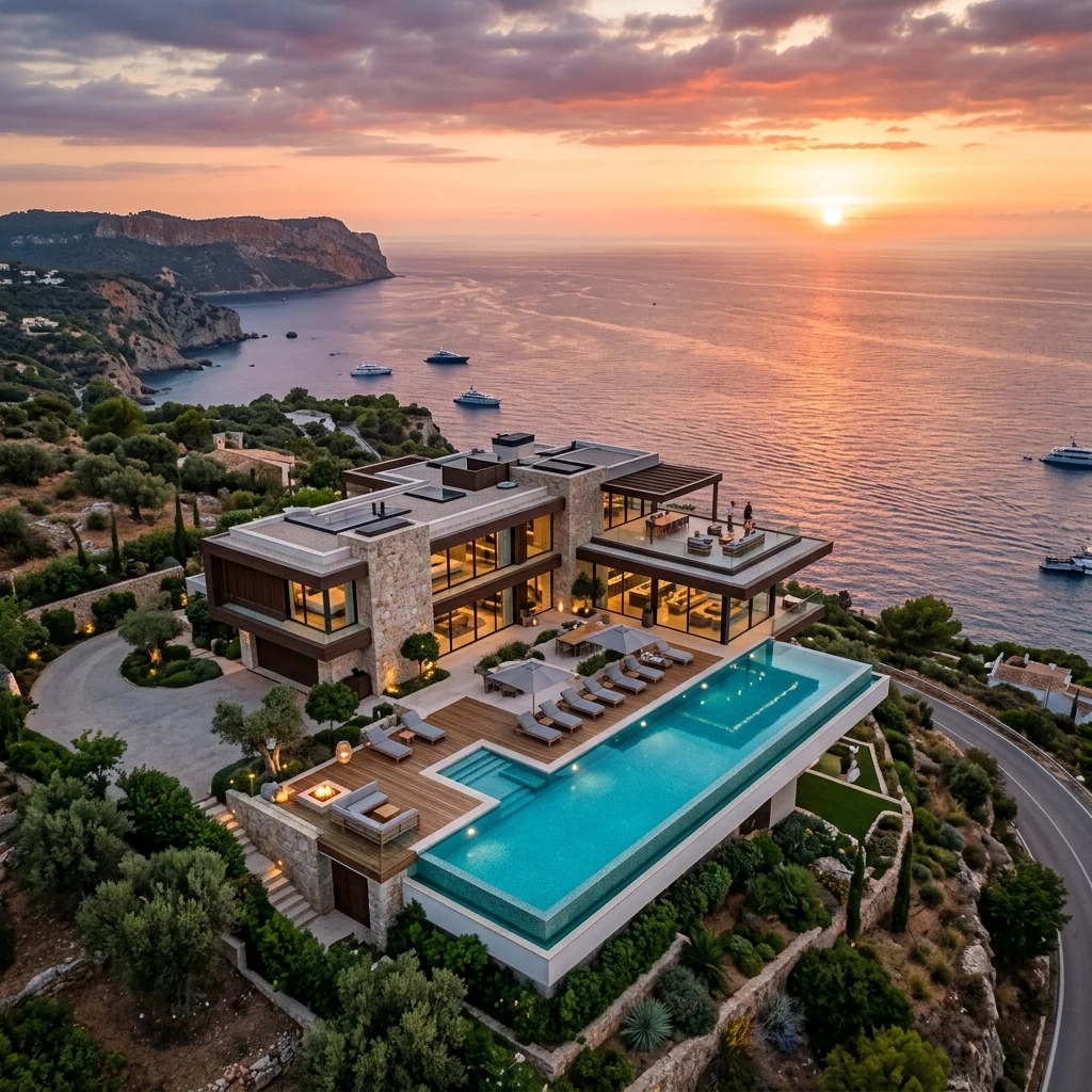
Azure Luxury Villa
Ultra-high resolution aerial photography and cinematic videography for a premium estate on the coast.
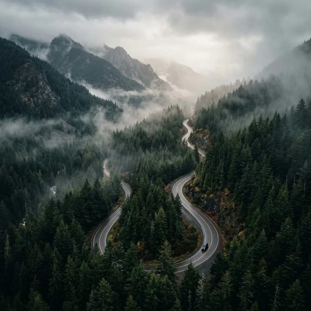
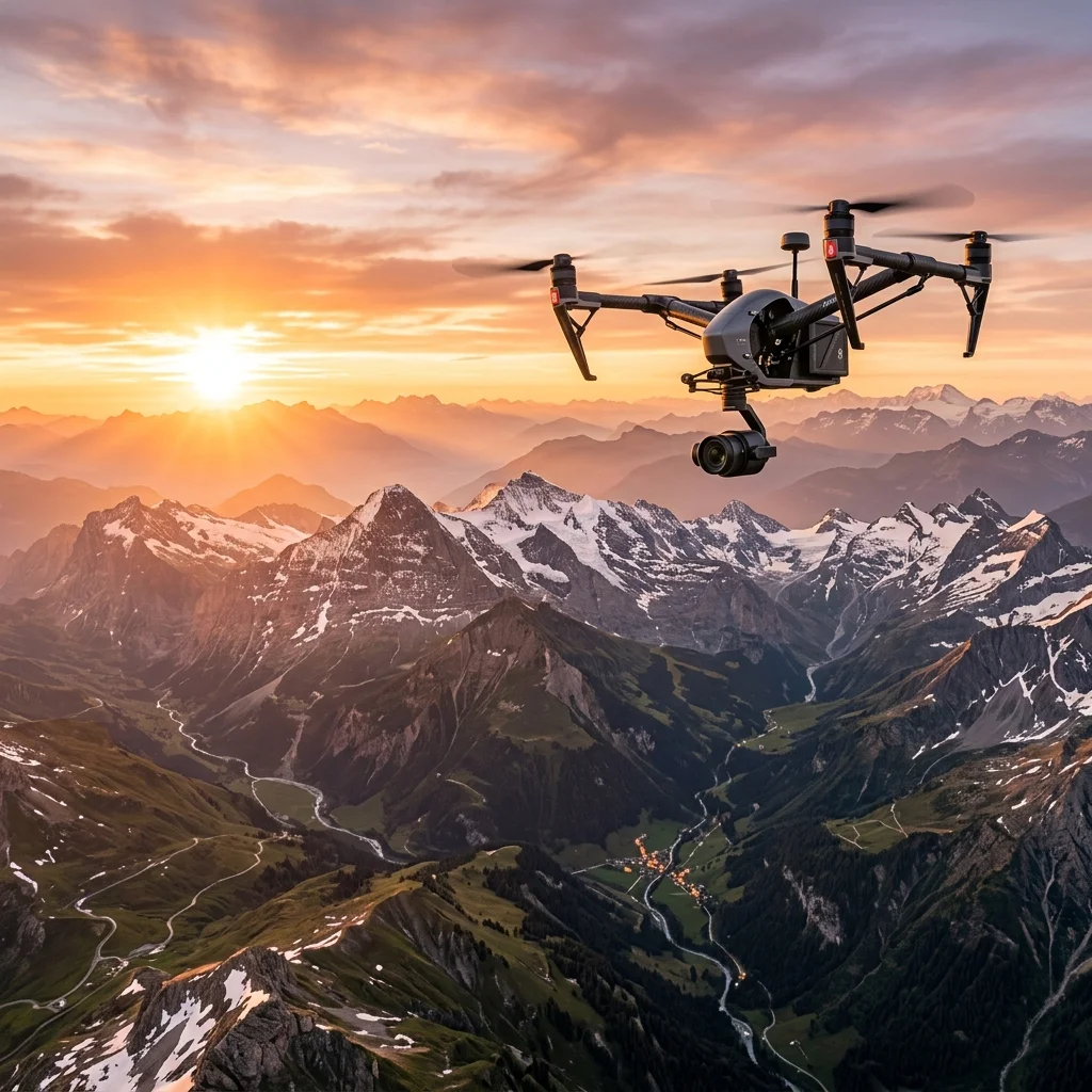
Misty Pine Expedition
Capturing the raw beauty of northern forests during the golden hour in challenging weather conditions.
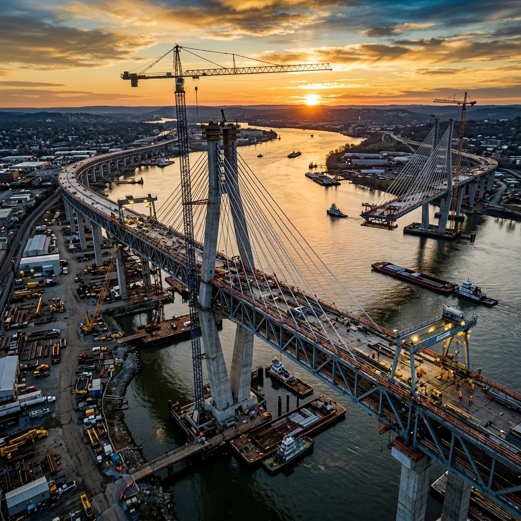
Infrastructure Digitization
Creating a centimeter-accurate digital twin of a critical transport hub for structural health monitoring.
Metropolitan Dusk
A cinematic journey through the city skyline at twilight, focusing on low-light performance and color grading.
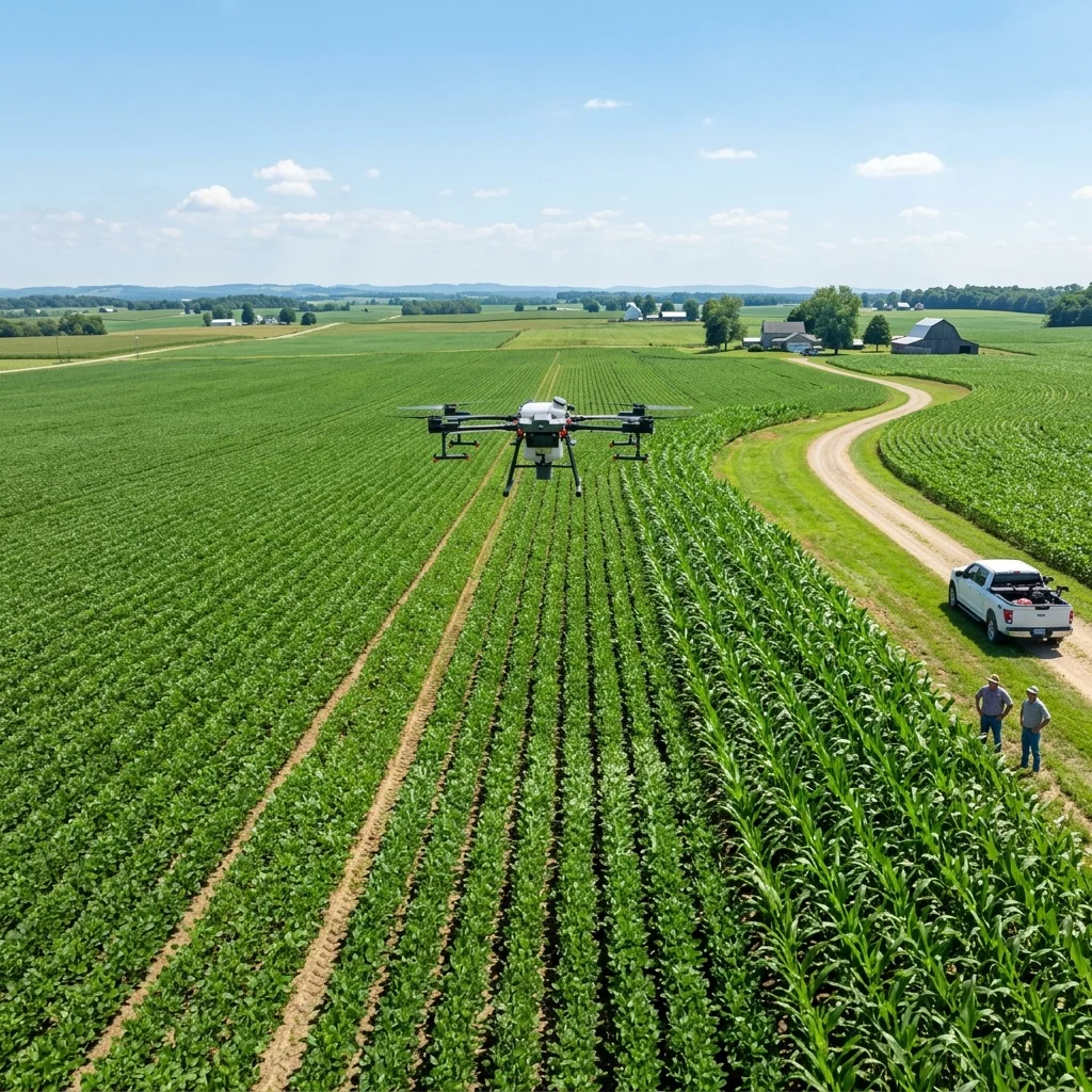
Agri-Tech Analysis
Multispectral imaging for crop health analysis and yield prediction in large-scale farming operations.
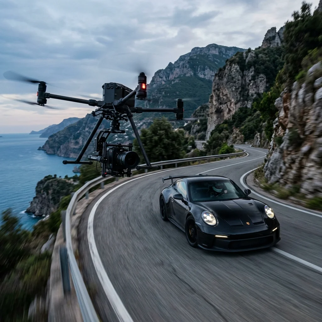
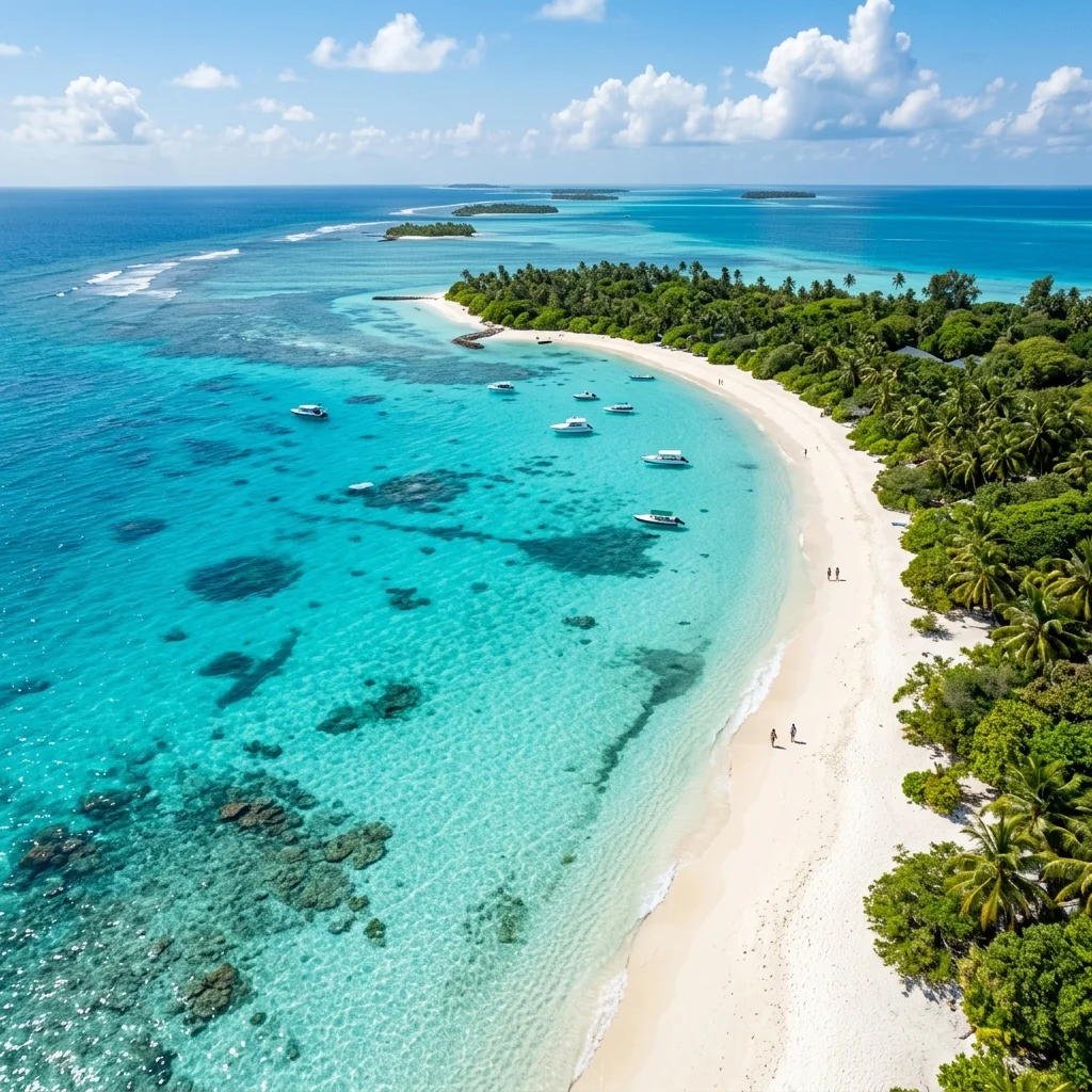
Azure Coastline
Ultra-wide shots of the rugged coastline, focusing on wave dynamics and natural light reflection.
The Tech
Stack
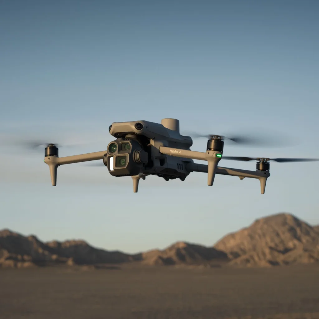
Matrice 4 Enterprise
A high-precision surveying powerhouse with mechanical shutter, 4/3 CMOS sensor, and full RTK integration for centimeter-level mapping accuracy.
LiDAR & Multispectral
Survey-grade laser scanning and NDVI sensors for centimeter-accurate 3D models and advanced vegetation analysis.
RTK Ground Station
Real-Time Kinematic positioning providing sub-inch vertical and horizontal accuracy for critical industrial audits.
Watch our Highlights
Like what you
see?
Each project is unique. We tailor our flight plans and capture settings to match your specific vision and technical requirements.
Start Your Project